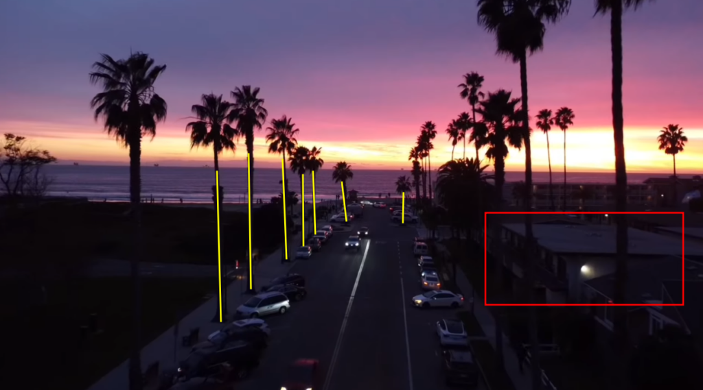
This GEOINT challenge can easily be solved by using reverse image search.
Link to the OSINT challenge video:
https://www.youtube.com/watch?v=EokvB5yUWIU
I urge you to try by yourself before looking at this solution
Solution
The video is a compilation of multiple drone views. The videos are recorded on the coast during the sunset.
We can also identify palm trees.
This is basic information we can extract from the video. Is it useful? Hm, it depends. We’ll use that to confirm the location afterwards.
Google Lens is a very powerful tool but it may not always find the location.
Sometimes, it requires multiple tries and different points of view.
For this challenge one image that is working is the following one:
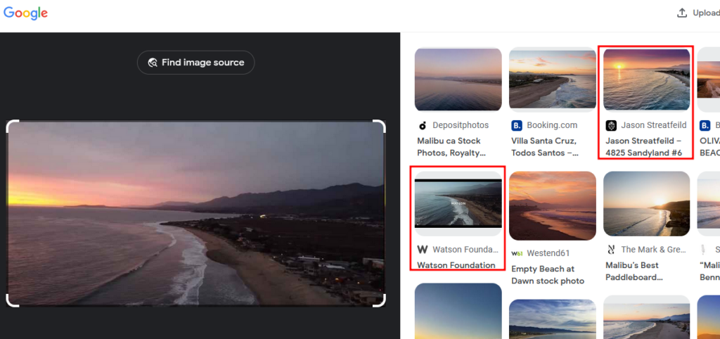
We recognize the same landscape in the results.
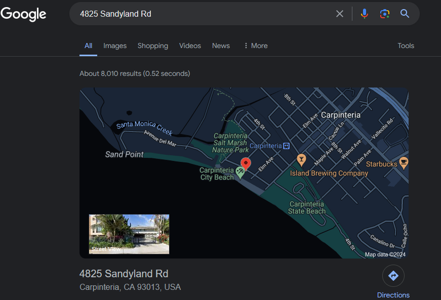
The thumbnail gives us the name of the road: 4825 Sandyland
After a quick search on Google Maps:
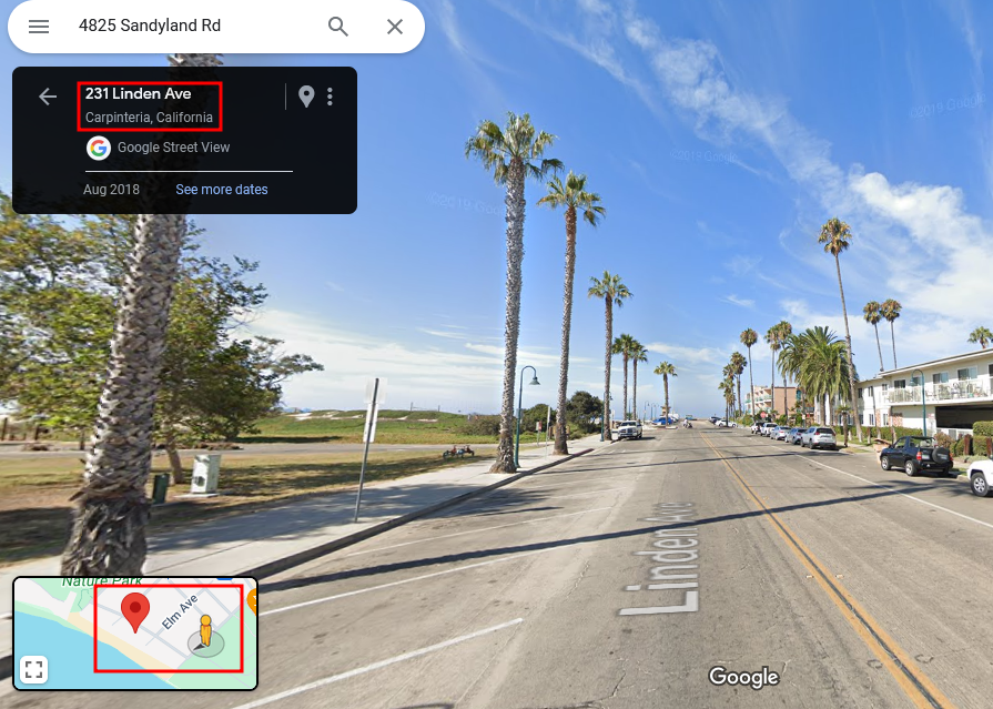
Go in Street View mode to better identify the location:
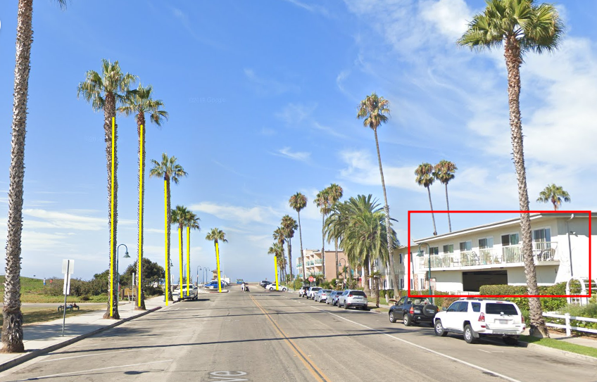
https://www.google.com/maps/@34.3944781,-119.5237992,3a,73.6y,232.47h,97.79t/data=!3m6!1e1!3m4!1s3uWURi3Jgu0vOY8Ar6eezw!2e0!7i16384!8i8192?entry=ttu
The elements are the same.
Even if we found the location, the street name from the Google Lens result is not exact and the correct street name is Linden Avenue:
Answer
Location: Carpinteria, California (depending on the moment of the video).

