Basically the easiest challenge of this series.
Link to the OSINT challenge video:
https://www.youtube.com/watch?v=mccW9uO99b4
I urge you to try by yourself before looking at this solution
Solution
There are at least two easy ways to find the solution to this challenge. Both of them takes around 10 seconds.
First way
Run a reverse image search based on the rainbow road. Google Lens is very likely to find it on the Internet because it is very recognizable and uncommon:
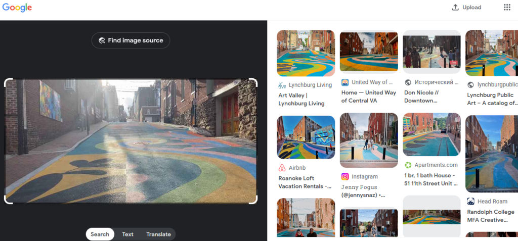
All of the results are giving the correct answer.
Second way
Another way to easily solve this is to look at the panel on the right:
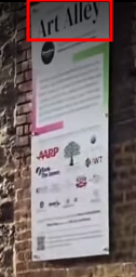
It says Art Alley. Then, simply look for this name on Google:
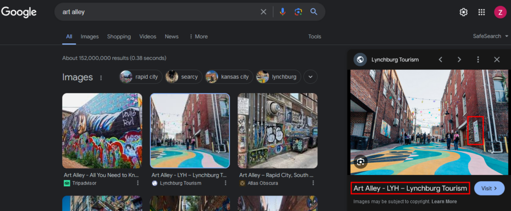
That was the easy part. But now, why not try to determine the date and the time this video was recorded?
This video was uploaded on Nov 20, 2021:
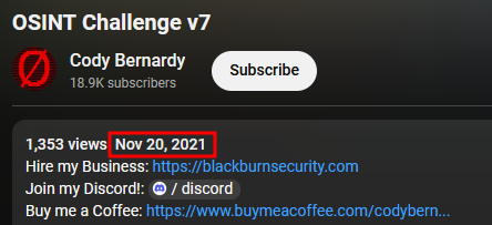
And from Google, the concept opened on Oct 1, 2021.
We know that this is not the same day as the opening or a few days later because there were some kind of baloons attached to the lights:
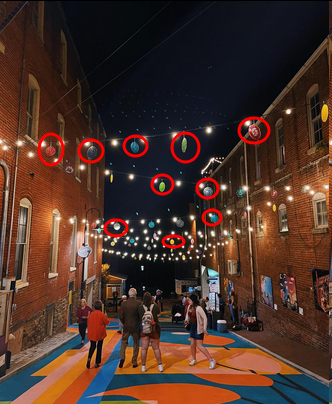
Which we cannot see in the video.
We can assume the video was posted right after Cody recorded it.
And when was this recored?
We’ll base our research on the sun and shadows calculation.
First, we must know the exact upload time of the video. I used a tool named Video Data Viewer that gives us more details about a video than the Youtube website itself:
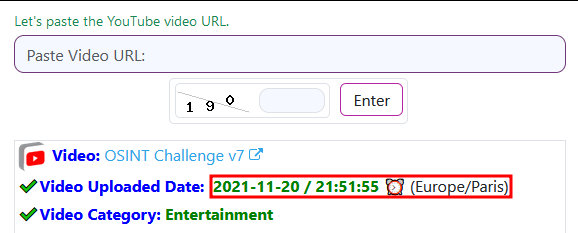
https://ytlarge.com/youtube/video-data-viewer
Careful! The time is given with the Paris timezone. We must convert it:
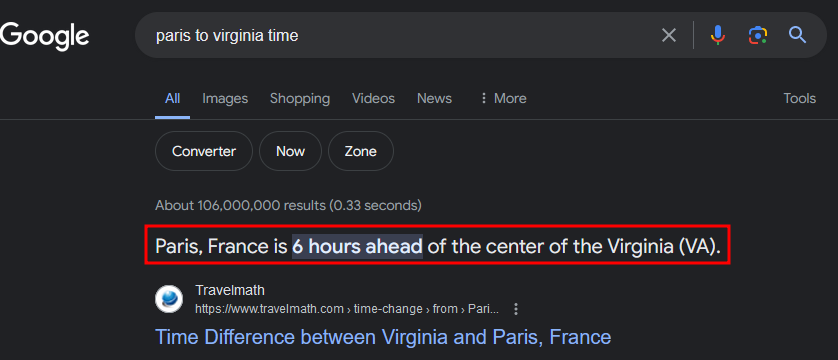
So the video was uploaded at 15:51:55 (or 3:51 pm).
From the video, when Cody is in the middle of the road, we can see the sun on the left:
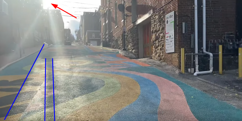
We can also identify the shadows and their direction.
But the most important thing is the sun beeing just in the corner of the building.
The tool we’ll be using to determine the time is called SunCalc and is very famous in the GEOINT community.
Warning! There are two SunCalc websites. One .net and another .org. Use the latter because it’s the only one working.
There’s another one called ShadeMap but we won’t to about it here (I recommend to check it out though).
For this technique to work, we must choose the exact location:
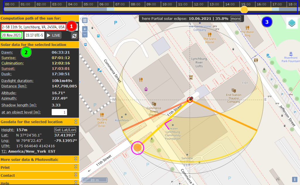
There’s a lot of information in this screenshot.
First we must position ourself on the correct location (red, number 1). Move the map to the exact position.
Then, select the date to Nov 20, 2021 (we assumed the video was recorded on the same day as the upload) (green, number 2).
Finally, play with the cursor at the top (blue, number 3) to change the timeline and move the sun (purple circle) to match what we see in the video.
The sun’s position is satisfying because it is at the limit of the building’s corner (purple corner) (as in the video).
Looking at the time on the left, it says 15:33.
The video was posted at 15:51 which is consistent with what we found.
But we cannot be 100% sure about this date and time.
This is only an approximation.
Hope you enjoyed the writeup and that you learnt some new techniques.
Do not hesitate to contact me if you want to discuss about OSINT/GEOINT or if I made a mistake.
Answer
Location: 11th St, Lynchburg, VA, 24504, USA
GPS Coordinates: 37.413929823190436, -79.13956930340193
Date: Between Oct 1, 2021 and Nov 20, 2021 (with a preference to November).
Time: Between 15:00 and 16:00 (to be very large :p)
